Good Morning. This is Eric Knoff with the Gallatin National Forest Avalanche Advisory issued on Monday, March 19 at 7:30 a.m. The Montana FW & P Recreation Trials Grant, in partnership with the Friends of the Avalanche Center, sponsors today’s advisory. This advisory does not apply to operating ski areas.
AVALANCHE WARNING
The Gallatin National Forest Avalanche Center is issuing a Backcountry Avalanche Warning for the southern Gallatin Range, southern Madison Range and Lionhead area near West Yellowstone. Heavy snowfall and strong winds are creating unstable conditions in the backcountry. Natural avalanches are currently large and destructive. The avalanche danger is rated HIGH on all slopes. Avalanche terrain including avalanche runout zones should be avoided.
Mountain Weather
Over the past 24 hours most areas picked up 4-6 inches of new snow with the exception of Cooke City which has picked 8 inches. Snow should continue through much of the day with an additional 4-6 inches falling by this evening. Currently, mountain temperatures are in the mid-teens to low twenties and winds are blowing predominately out of the west at 10-20 mph. Today, temperatures will warm into the high twenties to low thirties and winds will continue to blow out of the WNW at 10-20 mph. A ridge of high pressure will gradually build this evening and tomorrow looks to be a nice day.
The southern Gallatin Range, southern Madison Range and the Lionhead area near West Yellowstone:
Over the past 7 days, Carrot Basin Snotel site in the southern Madison Range has received over 5" of SWE and Madison Plateau Snotel site near West Yellowstone has received over 4" of SWE. This significant load is stressing two distinct weak layers, one that is resting 2-3' above the ground and another located at or near the ground. Avalanches are naturally failing on both layers, resulting in large and destructive slides. Natural avalanches are bulls-eye data that the snowpack is highly unstable. With these conditions, any slide that is triggered naturally or by a skier or rider, will likely be large and unmanageable.
On Friday, Mark and I observed multiple natural slides in Lionhead and triggered a large side from the ridgeline (photo,photo,video). Yesterday, skiers driving on Hwy 191 south of Big Sky observed multiple natural slides near Bacon Rind and Hebgen Lake.
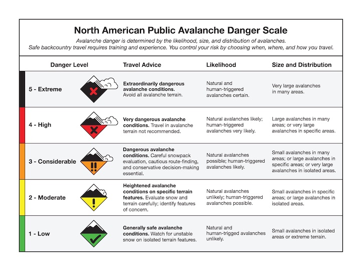
Today, the avalanche danger is rated HIGH on all slopes and travel in avalanche terrain is not recommended.
The northern Gallatin and northern Madison Ranges, The Bridge Range and the mountains around Cooke City:
Over the past week impressive precipitation amounts have been recorded in the mountains around Bozeman, Big Sky and Cooke City. Snotel and ski area records over the past seven days are as follows:
- Alpine Station at Bridger Bowl – Over 4” of SWE.
- Shower Falls Snotel Site, northern Gallatin Range – 1.7” of SWE
- Lone Mountain Snotel Site, northern Madison Range – 2” of SWE
- Fisher Creek Snotel Site, Cooke City – 2.8” of SWE
Yesterday, a large natural slide was observed on the west side of the Bridger Range (photo). This slide broke 2-4 feet deep on facets near the ground and propagated hundreds of feet across. This sign of instability is a major red flag and is a poignant reminder the snowpack is struggling to support the cumulative load of the past week.
A more likely scenario today will be slides failing in the storm snow. Wind loaded slopes and slopes steeper than 35 degrees will likely be sensitive to the weight of a skier or rider.
Today, continued snow and wind will keep the snowpack on edge making human triggered avalanches likely and the avalanche danger is rated CONSIDERABLE.
Doug will issue the next advisory tomorrow morning at 7:30 a.m. If you have any snowpack or avalanche observations, drop us a line at mtavalanche@gmail.com or call us at 587-6984.
Events/Education
1-hour Avalanche Awareness at REI, Bozeman
Tuesday, March 20 at 6:30 pm. Sign up for this FREE class here.