Good Morning. This is Doug Chabot with the Gallatin National Forest Avalanche Advisory issued on Tuesday, March 20 at 7:30 a.m. Montana Import Group, in partnership with the Friends of the Avalanche Center, sponsors today’s advisory. This advisory does not apply to operating ski areas.
Winter stopped by for a visit and left a few goodies. Yesterday’s snowfall dropped 10 inches in the Bridger Range bringing their 36-hour storm total to 18 inches. Also 10 inches fell in the northern Gallatins, 6 to 10 inches fell around Big Sky and 2-4 inches fell in the southern mountains. West to southwest winds are averaging 20 mph with gusts to 30 mph under clearing skies. This morning temperatures are a chilly 5F to 10F, but should warm to the high 20s. Today will be partly cloudy and windy with more cloud cover rolling in tonight.
The southern Gallatin Range, southern Madison Range and the Lionhead area near West Yellowstone:
The avalanche warning for the southern Gallatin, southern Madison and Lionhead areas expired, but this hardly means conditions are safe. In the past seven days these mountains got walloped with over five inches of snow water equivalency (SWE) which settled into a three foot slab of dense snow. Areas with wind-loads measured five foot thick hard slabs. Avalanche activity was widespread. Mark and Eric found natural avalanches in Lionhead that mowed down full grown trees (video). They also triggered a large avalanche from the ridgetop. I rode into Taylor Fork yesterday and could see many large slides from the previous two days (photo). As my partner and I skied along the ridge on Sunlight Basin we collapsed the depth hoar with a heart-thumping “whumph” triggering a large avalanche. Cracks shot along the ridge releasing a 3-5 feet deep hard slab that propagated at least 1,000 feet wide (video, photo). Breaking big avalanches loose from the flats is scary, breathtaking and informative; the danger is obvious.
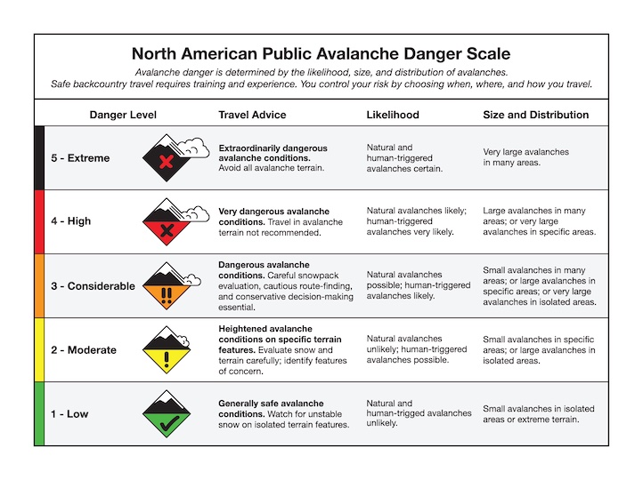
Avalanches are sliding on depth hoar at the ground or facets mid-pack. It really doesn’t matter which layer it breaks on because these hard slab avalanches are destructive, large and deadly. A HIGH avalanche danger continues today on any slope that is wind-loaded or any slope steeper than 35 degrees. All other slopes have a CONSIDERABLE danger.
The Bridger, northern Gallatin and northern Madison Ranges:
Snows this past week have pushed the 30-year average SWE towards 90% in the Gallatin and Madison River basins. Storm totals for the last 36 hours are 18 inches in the Bridger Range and 12-14 inches in the northern Gallatin and northern Madison Ranges. This snow measures 1-1.5 inches of SWE. The northern mountains have the same weak snow structure as the southern ranges. A large natural avalanche on the west side of the Bridger Range Sunday is evidence that slopes are unstable (photo). Yesterday’s snowfall has increased instability in the backcountry, especially with winds loading slopes even more. It was reported this morning that the Football field on Saddle Peak avalanched last night. Over three inches of SWE has fallen since Wednesday, 4.5” in the Bridger Range. This is a steady, large load onto a weak snowpack and a lot of ammunition for wind-loading.
The avalanche problem is simple: lots of new snow and wind-loading is adding stress to a weak snowpack. Triggering an avalanche is likely today and the avalanche danger is rated HIGH on wind-loaded slopes steeper than 35 degrees and CONSIDERABLE on all others.
The mountains around Cooke City:
The mountains around Cooke City have received steady snowfall totaling three inches of SWE over seven days. These mountains have weak, faceted snow on thinner slopes found on wind scoured zones or in paths that previously avalanched. Reports from Cooke City note some isolated collapsing and a natural slide on Mt. Republic. Winds are blowing strong which will keep the danger elevated on wind-loaded terrain. For today, the avalanche danger is rated CONSIDERABLE on all wind-loaded terrain or any slope steeper than 35 degrees. All other slopes will have a MODERATE danger.
Avalanches: Pictures and Videos
Since Saturday we’ve posted 14 pictures and two videos of avalanche activity. Check the pictures out here and videos here.
I will issue the next advisory tomorrow morning at 7:30 a.m. If you have any snowpack or avalanche observations, drop us a line at mtavalanche@gmail.com or call us at 587-6984.
Events/Education
TONIGHT: 1-hour Avalanche Awareness at REI, Bozeman
Tonight, March 20 at 6:30 pm. Sign up for this FREE class here.