Happy St. Patrick’s Day. This is Mark Staples with the Gallatin National Forest Avalanche Advisory issued on Saturday, March 17 at 7:30 a.m. The Pinhead Classic Telemark Festival, in partnership with the Friends of the Avalanche Center, sponsors today’s advisory. This advisory does not apply to operating ski areas.
March Madness is here with more rain, snow, and above freezing temperatures. Yesterday most areas received a mix of rain and snow below 8000 ft and just snow above this elevation. The mountains near West Yellowstone and the Taylor Fork received 10 inches of heavy, dense snow, near Big Sky and Cooke City 3-5 inches, near Bozeman 2-3 inches. Temperatures this morning were hovering near freezing and winds were blowing 10-15 mph from the S with gusts of 25 mph. Hyalite was the exception with winds blowing 20-45 mph.
Today the madness continues. Temperatures should rise into the mid 30s F while some areas could see temperatures in the 40’s F. Winds will increase some but continue from the S. By tomorrow morning, another 10 inches of snow (1+ inches of SWE) will fall near West Yellowstone and the Taylor Fork, near Big Sky and Cooke City 4-6 inches of snow, and near Bozeman 2-3 inches of snow.
The southern Gallatin and southern Madison Ranges, and the Lionhead area near West Yellowstone:
Weird weather creates weird avalanches and today is no exception. Yesterday on Lionhead near 8000ft a wet snow avalanche occurred naturally. Luckily no one was caught though mature trees were ripped out of the ground (photo). Other wet slides were observed by Gallatin Snow Rangers (photos). With rain and multiple days with above freezing temperatures more wet snow avalanches should occur today. These wet slides are difficult to predict. Avoiding avalanche terrain and avalanche runnout zones at elevations below 8000ft or other areas with wet snow is the best option today.
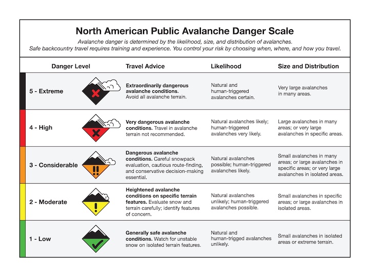
At higher elevations, heavy dense snow has stressed faceted layers both at the ground and 2-3 above the ground (photo1, photo2, video). Yesterday’s strong S winds added further stress to these layers on wind loaded slopes. A few natural avalanches are possible. It will be difficult to trigger avalanches on these deeply buried weak layers unless you hit a thin spot in the snow. It is hard to know where these spots exist. Today dangerous avalanche conditions exist and the danger for both wet snow and dry snow avalanches is CONSIDERABLE. The wet snow avalanche danger could rise to HIGH if areas receive prolonged periods of rain.
The Bridger, northern Gallatin and northern Madison Ranges, and the mountains around Cooke City:
Conditions near Big Sky, Bozeman, and Cooke City are not much different and most slopes have faceted layers both at the ground and 2-3 above the ground. These areas have also experienced prolonged temperatures above freezing but have not received as much rain and/or snow. Yesterday in the northern Bridger Range, Eric and I found wet snow below 8000ft. Above this elevation we found dry snow, and on Hardscrabble Peak we saw a recent natural avalanche. This slide broke at the ground on a slope loaded by recent S winds (photo1, photo2).
Today conditions are tricky
- Below 8000 ft wet snow avalanches are a significant concern and the avalanche danger is rated CONSIDERABLE.
- Above 8000 ft dry snow avalanches are the primary concern. Wind loaded slopes steeper than 35 degrees have a CONSIDERABLE avalanche danger. Other slopes have a MODERATE danger.
Special note to ice climbers:
Temperatures have been above freezing for multiple days in Hyalite Canyon. Even very small avalanches can have deadly consequences, and I would choose routes today that are not located under gullies. Be especially heads up if it starts raining because rain will easily cause wet snow avalanches.
Eric will issue the next advisory tomorrow morning at 7:30 a.m. If you have any snowpack or avalanche observations, drop us a line at mtavalanche@gmail.com or call us at 587-6984.
Events/Education
1-hour Avalanche Awareness at REI, Bozeman
Tuesday, March 20 at 6:30 pm. Sign up for this FREE class here.