Good morning. This is Mark Staples with the Gallatin National Forest Avalanche Advisory issued on Thursday, March 15 at 7:30 a.m. Cooke City Motorsports and Yamaha, in partnership with the Friends of the Avalanche Center, sponsor today’s advisory. This advisory does not apply to operating ski areas.
Since yesterday 5-8 inches of snow (0.8-1.0 inches of SWE) fell in the southern Madison Range and in the mountains near West Yellowstone and Cooke City. 3-5 inches fell in the Bridger Range and mountains near Big Sky (0.3-0.5 inches of SWE), and the Hyalite Canyon area received 1 inch. This morning winds were averaging about 20 mph from the SW gusting to 35 mph. Temperatures were near 32 degrees F.
Today will be warm and windy again. Temperatures in the mountains near Bozeman will be in the 40s F while other areas will have temperatures in the 30s F. Winds will continue from the SW blowing 20-30 mph and increase by this afternoon with gusts of 50 mph. The mountains near West Yellowstone and Cooke City should receive another 2-4 inches while other areas will get a dusting of snow or a sprinkle of rain.
The Bridger, Gallatin and Madison Ranges, the Lionhead area near West Yellowstone:
Now is a tricky time because avalanche conditions can change rapidly and vary significantly from one slope to another. In general most slopes have layers of faceted snow near the ground and 2-3 feet above the ground. A snowmobile guide found these facets 2 feet above the ground (buried 3.5 feet deep). This layer produced unstable results in his stability tests (photo) and they stuck to low angle slopes. These layers have gained strength on many slopes but remain weak on many others. I do not trust them for two reasons:
- There have been many avalanches on these layers in recent weeks. A snowmobiler triggered and was caught in an avalanche on Lionhead on Sunday (helmet cam video). A large natural avalanche occurred on the west side of the Bridger Range yesterday (photo).
- These layers have been stressed by precipitation during the last 48 hours. Snowfall amounts have varied but the snow water equivalent in most of the advisory area is about 1.3 inches. Strong SW winds transported some of this snow adding further stress to buried layers of facets.
An additional concern in isolated areas will be a layer of graupel (photo). Graupel is little pellets of snow that act as a temporary weak layer and typically rolls downhill accumulating on aprons under ridges and below cliff bands. Last year on March 17th a skier was caught in a slide north Bridger Bowl in the “Hourglass” under very similar conditions (see last year’s video).
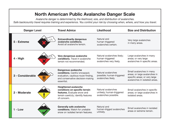
Heavy new snow, buried facets, and avalanche activity are clear signs of dangerous avalanche conditions that require careful stability evaluations and terrain selection. For today the avalanche danger is CONSIDERABLE on any wind loaded slope or any slope steeper than 35 degrees. Less steep slopes without a wind load have a MODERATE danger.
The mountains around Cooke City:
Throughout this winter the mountains near Cooke City have received 1.5X to 2X the snowfall of other areas. Consequently the snowpack is generally deeper and stronger. During the last two days, I found many slopes with a deep and strong snowpack. My partner and I were mostly concerned with lower elevation slopes, especially ones that had previously avalanched because these have a thinner and weaker snowpack. Although our stability tests on these slopes showed that the snowpack has gained strength, it was stressed by yesterday’s heavy snow. Additionally a skier nearby found graupel (photo) buried under the new snow which cracked under his skis. For today the avalanche danger is CONSIDERABLE on slopes steeper than 35 degrees and MODERATE on less steep slopes.
I will issue the next advisory tomorrow morning at 7:30 a.m. If you have any snowpack or avalanche observations, drop us a line at mtavalanche@gmail.com or call us at 587-6984.
Events/Education
Come to Bridger Bowl on Saturday, March 17th (St. Patrick’s Day) with telemark skis, AT skis, alpine skis, snowboards, split boards, or even snow blades. The theme is Snowpocalypse based on the wildly popular Mayan 2012 apocalypse. $30 gets you into the races, a pint glass, t-shirt, a good time, a raffle ticket, and food by Cafe Fresco. Pre-register at Mystery Ranch or Grizzly Ridge March 11-16. Visit http://pinheadclassic.com/ or the Pinhead Facebook page for more info.
1-hour Avalanche Awareness at REI, Bozeman
Tuesday, March 20 at 6:30 pm. Sign up for this FREE class here.