Good morning. This is Doug Chabot with the Gallatin National Forest Avalanche Advisory issued on Wednesday, March 14 at 7:30 a.m. The Hans Saari Memorial Fund, in partnership with the Friends of the Avalanche Center, sponsor today’s advisory. This advisory does not apply to operating ski areas.
Yesterday was windy at all elevations with southwest winds hitting 93 mph on Lone Mountain. Winds died down last night before the snowfall started. As of 6 a.m. the Bridger Range and mountains around Big Sky have six inches of snow while the southern Madison Range and mountains around West Yellowstone and Cooke City got 2-3 inches. Temperatures dropped into the mid-20s last night and winds are now WSW at 20-40 mph. Today, temperature and winds will not change much. A moist southwest flow will bring mostly cloudy skies and sporadic snowfall through tonight. By morning I expect 2-4 inches.
The Bridger and northern Madison Ranges:
Although the Bridger Bowl and Moonlight Basin show 6 inches of snow, the Bridgers received close to double the water weight (1”SWE vs .5”SWE). Ridgetop winds are currently strong enough to move this high density snow onto leeward slopes. Be aware that yesterday winds whipped at all elevations creating mid-mountain slabs that are hidden by today’s new snow.
Snow fell as temperatures dropped which helped it bond to the old snow surface no matter if it was a sun crust or not. Our stability concerns lie deeper in the snowpack. In the last six days Mark, Eric and I have spent time in the northern Madison (video) and Bridger Ranges (photo) digging snowpits. Poor snow structure, weak stability tests and avalanche activity near Cedar Mountain and Buck Ridge last week illustrate the lingering instabilities. We have two weak layers that are under increasing stress with this new snowfall: depth hoar near the ground or a thin layer of facets 2-3 feet under the surface.
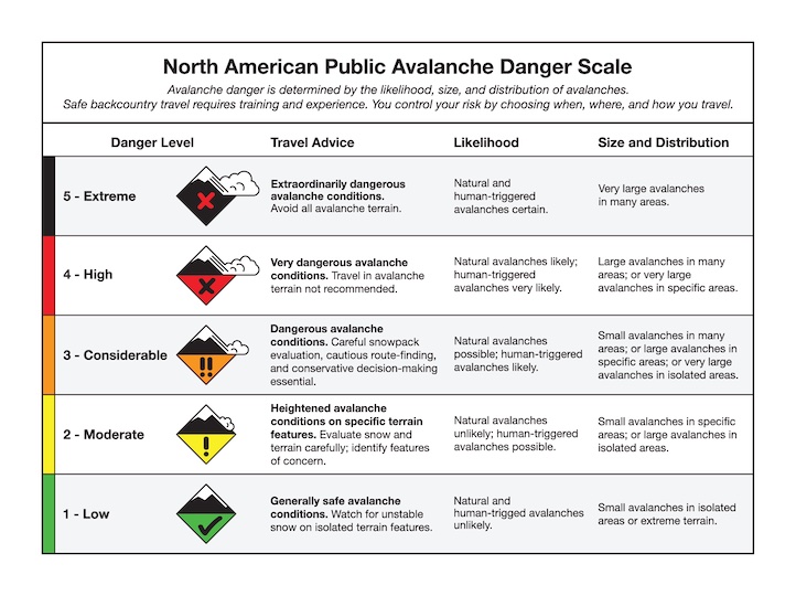
We just added a lot of weight very quickly to the snowpack. This new snow will heighten the avalanche danger to CONSIDERABLE on any slope steeper than 35 degrees or any slope with a wind-load. All other slopes will have a MODERATE danger.
The Gallatin and southern Madison Ranges, the mountains around Cooke City and the Lionhead area near West Yellowstone:
Snowfall last night was not as generous in the Gallatin Range (where Hyalite got nothing) or in the mountains around West Yellowstone and Cooke City where 2-3 inches fell. Although snowfall distribution has not been uniform, the buried weak layers are. Depth hoar at the ground or facets 2-3 feet deep is still showing signs of instability in our snowpits (video). Mark is in Cooke City and found the weakest snows on slopes that are thinly covered, sometimes due to previous avalanche activity. Thin snowpacks harbor large, weak grains of depth hoar. Propagating fractures in our Extended Column Tests (video tutorial) are widespread: Hyalite, Taylor Fork, and Lionhead. Consequently, it’s still possible to trigger an avalanche and the danger is rated MODERATE today.
Mark will issue the next advisory tomorrow morning at 7:30 a.m. If you have any snowpack or avalanche observations, drop us a line at mtavalanche@gmail.com or call us at 587-6984.
The NRCS released a new bar graph showing the Gallatin Basin at 83%, Madison at 82% and Jefferson at 84% of the 30-year average.
Events/Education
Come to Bridger Bowl on Saturday, March 17th (St. Patrick’s Day) with telemark skis, AT skis, alpine skis, snowboards, split boards, or even snow blades. The theme is Snowpocalypse based on the wildly popular Mayan 2012 apocalypse. $30 gets you into the races, a pint glass, t-shirt, a good time, a raffle ticket, and food by Cafe Fresco. Pre-register at Mystery Ranch or Grizzly Ridge March 11-16. Visit http://pinheadclassic.com/ or the Pinhead Facebook page for more info.
1-hour Avalanche Awareness at REI, Bozeman
Tuesday, March 20 at 6:30 pm. Sign up for this FREE class here.