Photos
|
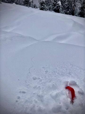
Southern Madison, 2025-02-02 A layer of nsf's and surface hoar was failing ~10 inches deep and causing shooting cracks
|
|
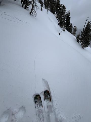
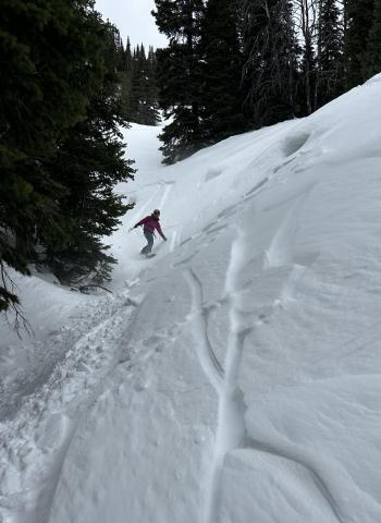
Northern Gallatin, 2025-02-02 Lots of wind transport filling in the skin track between laps and creating light reactive slabs ~5” deep in places (see photo) primarily out of the west but generally inconsistent in direction. Photo: E Kiesz |
|
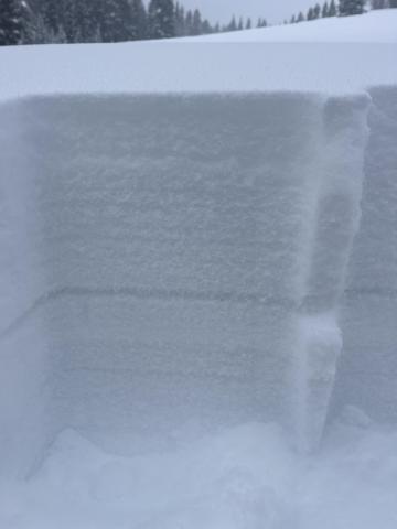
Southern Madison, 2025-02-02 Buried SH below the 2/1 storm. 1-2cm thick layer buried approximately 20cm deep below F precip particles. Photo: M Zia
|
|
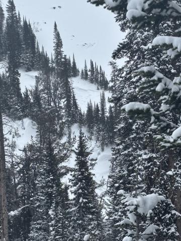
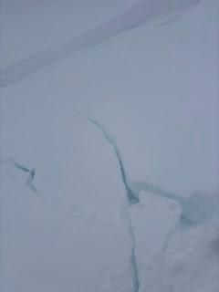
Cooke City, 2025-02-02 Skied north of Cooke City. Lots of cracking and small slabs on pillows. Observed one small wind slab on NW facing slope 9200 ft. Photo: BPG Link to Avalanche Details |
|
Cooke City, 2025-02-02 Skied north of Cooke City. Lots of cracking and small slabs on pillows. Photo: BPG |
|
Northern Madison, 2025-02-02 Cracking and isolated pockets of wind slab in Beehive. |

|
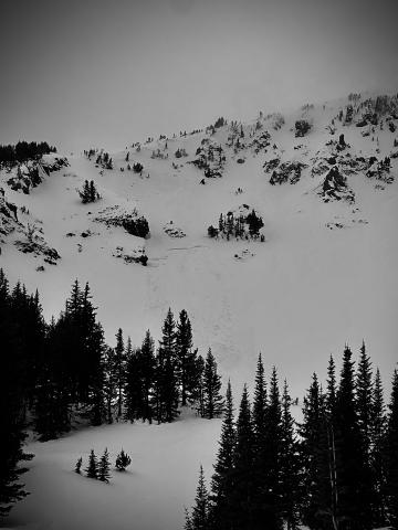
Northern Madison, 2025-02-02 Human triggered release of cornice overhang near the weather station on Buck Ridge. Recent activity next to the small release. Crown 1-2’ deep, 40’ run, 75’ across running over the tracks riding underneath in the recent wind transported slab. Link to Avalanche Details |
|
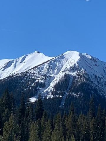
Northern Gallatin, 2025-02-01 From obs: "Wind was rocking in alpine today, fresh windslabs forming and naturally releasing. I could make out 3 on E face, but rough vis with blowing snow. Exposed terrain in alpine had about .5” ice crust from yesterday’s sunshine. This slab (in pic) released around 11-noon-ish." Photo taken 1/31/25 Link to Avalanche Details |
|
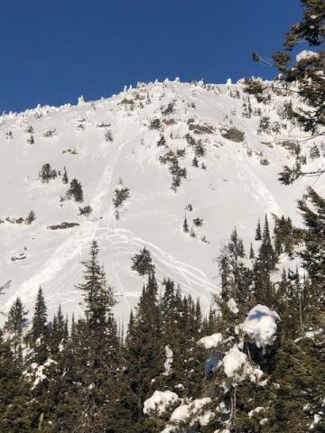
Southern Madison, 2025-01-31 From email: "Today I drove down Taylor fork road, with the thought of potentially getting up on woodward mtn, until I saw a crown on the NE |
|
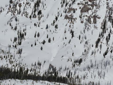
Island Park, 2025-01-31 Two Point release avalanches on south slope of Two Top. 1/30/25. Photo: K. Allred Link to Avalanche Details |
|
Cooke City, 2025-01-30 On Jan 30 we spotted several loose wet avalanches that occurred yesterday in steep, rocky terrain up Sheep Creek. Photo: GNFAC Link to Avalanche Details |

|
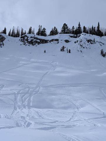
Cooke City, 2025-01-30 On Jan 30 we noted an old, deep persistent slab avalanche on a NW' aspect near the south end of the Republic Creek drainage. This likely broke around a week ago. Photo: GNFAC Link to Avalanche Details |
|
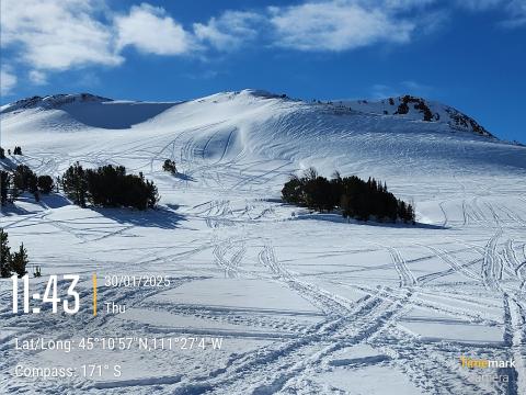
Northern Madison, 2025-01-30 We also spotted a small, snowmobile triggered avalanche on a steep, east facing slope in Muddy Creek. Photo: USFS Snow Rangers |
|
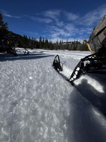
Northern Madison, 2025-01-30 Saw this cool illustration of wind deposition, scouring and unaffected snow on a ridge line near the top of Bear Creek at the far end of Buck Ridge. Photo: USFS Snow Rangers |
|
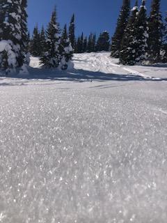
Northern Madison, 2025-01-30 Photo: M R |
|
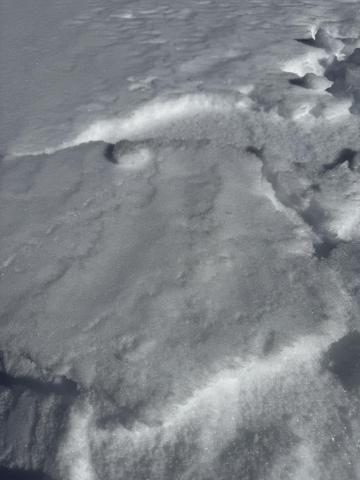
Island Park, 2025-01-30 Wide spread layer of Surface Hoar mid and upper elevations Two Top area |
|
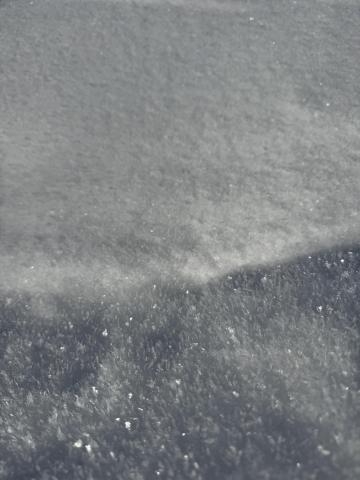
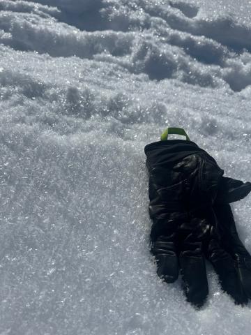
Northern Madison, 2025-01-29 The surface evolved throughout the day, so we must continue tracking its progression. We found surface hoar in the valley of Beehive, where inverted temperatures were the coldest, crusts with near-surface facets below, and some straight near-surface facet—recycled powder, along with thicker crust and wet snow. Photo: GNFAC |
|
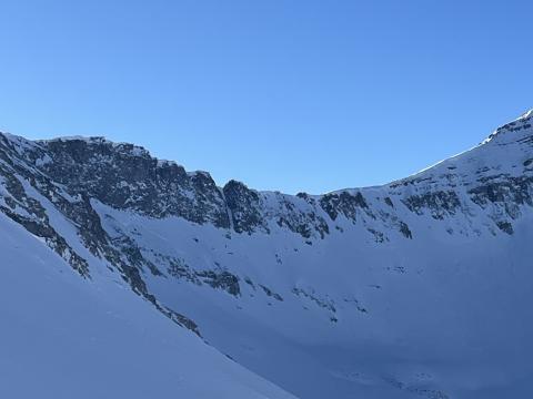
Northern Gallatin, 2025-01-29 Large surface hoar across a variety of elevations and aspects at Lick Creek. It was 2-5mm large and present on almost all flats and non-solar aspects. Photo: W Hubbard |
|
Northern Madison, 2025-01-29 Recent avalanches noted on the NE-E aprons on cedar mountain. SS-N-R2-3-D2-I These appeared to have possibly happened during the last storm cycle and looked to be isolated to layers within the new old snow interface. I also noted similar activity on the same aspects on the adjacent ridge during our approach. Link to Avalanche Details |
