Good Morning. This is Mark Staples with the Gallatin National Forest Avalanche Advisory issued on Thursday, March 22 at 7:30 a.m. Mystery Ranch, in partnership with the Friends of the Avalanche Center, sponsors today’s advisory. This advisory does not apply to operating ski areas.
Yesterday temperatures climbed into the mid 30’s – mid 40’s F. This morning temperatures were just below freezing and winds were averaging 10-20 mph from the SW and gusting 30-40 mph. Today will have mostly sunny skies with high temperatures getting a bit warmer than yesterday. SW winds will continue with gusts of 30-40 mph.
WET SNOW AVALANCHE DANGER
Today a few clouds and strong winds will limit heating in some areas; however, other areas with little wind and strong direct sunshine will warm quickly and the snow will become wet. As the snow becomes increasingly wet, it should give warning signs like roller balls of snow and small point releases. The wet snow avalanche danger will rise to CONSIDERABLE by afternoon on slopes with a southerly aspect.
The Bridger Range, southern Gallatin Range, entire Madison Range and the Lionhead area near West Yellowstone:
Recent weather delivered significant amounts of heavy snow (over 5 inches of snow water or SWE). This snow added significant stress to facets and depth hoar near the ground and many avalanches broke on this layer. A few avalanches broke on a thin layer of facets about 3 feet above the ground. Doug, Eric, and I investigated several avalanches just south of Bridger Bowl yesterday (video) and were amazed by the size and destructive power of these avalanches. We have seen similar avalanches near Lionhead (video) and the Taylor Fork (video) areas and triggered some while walking along ridgetops. See pictures of these avalanches on our photos pages (page1, page2, page3).
Slopes that did not slide remain near their breaking point and only need a trigger to cause an avalanche. The trigger can be a little more wind-blown snow, a falling cornice, a skier, or a snowmobiler. Near Big Sky there were fewer natural avalanches because less snow fell (about 3 inches of SWE). With similar weak layers in this area, enough snow accumulated to push most slopes near their breaking point as well.
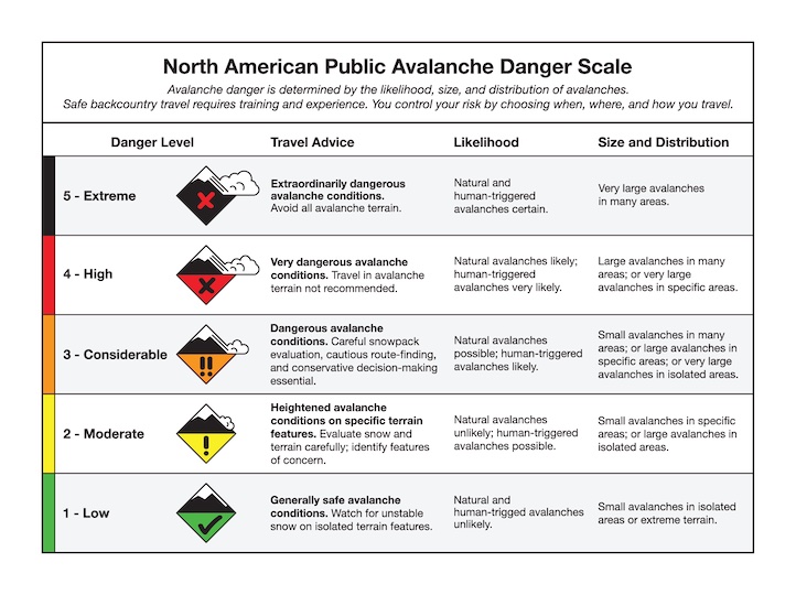
Unfortunately one day without snow and a little warm weather will not help stabilize the snowpack especially when the weak layers are deeply buried. The only thing that helps is time, usually more time than we want to give it. Today, dangerous avalanche conditions exist and the avalanche danger is rated CONSIDERABLE.
The northern Gallatin Range and mountains around Cooke City:
Recent storms delivered 3.5 inches of SWE around Cooke City and 2.6 inches of SWE in the northern Gallatin Range. These areas have similar avalanche conditions for two reasons. The buried facets are not as widespread as in other areas and these places did not receive the crushing load of snow that fell in the Bridger Range and the southern Madison Range. However, strong southerly winds will increase the load on leeward slopes and keep the avalanche danger elevated. Today wind loaded slopes steeper than 35 degrees have a CONSIDERABLE avalanche danger. Other slopes have a MODERATE avalanche danger.
I will issue the next advisory tomorrow morning at 7:30 a.m. If you have any snowpack or avalanche observations, drop us a line at mtavalanche@gmail.com or call us at 587-6984.