This is Ian Hoyer with the avalanche forecast for Saturday, February 22nd, at 7:00 a.m. sponsored by Gallatin County Sheriff Search and Rescue and Idaho State Snowmobile Association - Avalanche Fund. This forecast does not apply to operating ski areas.
There is no new snow. Temperatures this morning are in the teens and low 20s F. Winds are blowing 10-15 mph out of the west and northwest (a little stronger in Hyalite).
The weather today will look a lot like yesterday. Temperatures will be quite moderate, with highs in the 20s and 30s F. Expect mostly sunny skies around Bozeman and Big Sky with more clouds as you head south. Winds will be moderate and westerly.
Snowfall will begin tomorrow, favoring the Cooke City and Island Park areas.

Persistent Slab avalanches remain the primary concern. Yesterday, a rider in Tepee Basin triggered an avalanche from the bottom of a slope that broke up to 3 ft deep and 250 ft wide, partially burying him, with just one arm and one leg sticking out of the snow (details and photos). Fortunately his partners got him out quickly and unharmed. Nearby, in the Taylor Fork, Alex triggered a 100 ft long shooting crack (observation). This shows us the weak layers that formed in late January remain touchy. Many of these slides are happening far below ridgelines, on mid elevation slopes with trees around (Lionhead video, Black Canyon photos). Don’t get lulled into a false sense of security by seeing tracks on steep slopes. It could be the 2nd, or the 10th, rider that hits the sweet spot and triggers the whole slope.
Wind Slab avalanches are a more isolated concern, but keep your eye out for drifts that haven’t bonded yet.
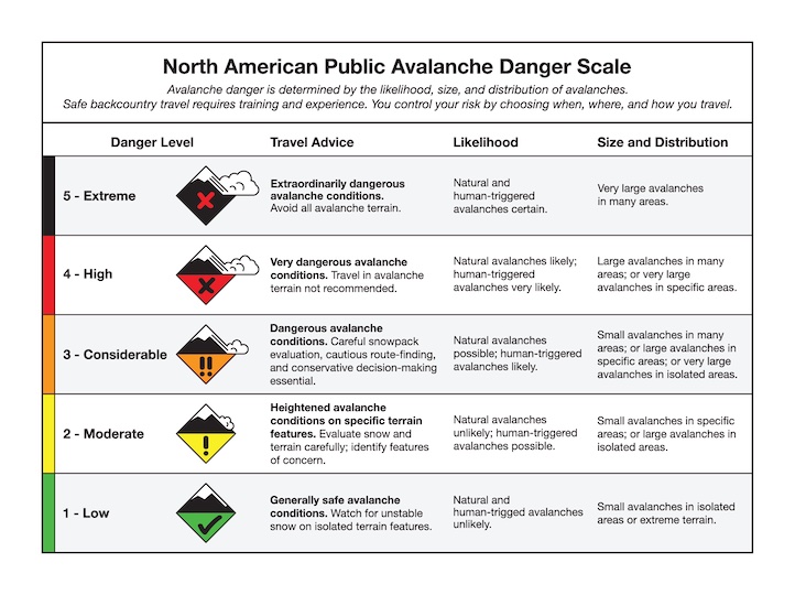
Avalanche conditions remain dangerous and the avalanche danger is CONSIDERABLE.

Wind Slabs avalanches are the biggest concern across the rest of the advisory area today. Be on the lookout for freshly formed wind drifts or older drifts that haven’t yet bonded to the snow beneath them. I expect new drifts to be pretty isolated, but they could be easily triggered. A stiff snow surface and cracks shooting out in front of you are clear signs that you’ve found an unstable drift.
Wet loose avalanches are also a concern as temperatures warm and surface snow melts. After warm temperatures and sunny skies yesterday with a good refreeze overnight, I don’t expect a ton of activity today. We did get a report yesterday of a decent size wet slide in Gallatin Canyon, so be on alert today at low elevations (Gallatin Canyon details, Sourdough Canyon video). Crusts breaking down and the snow surface getting sticky and wet are signs that wet snow danger is increasing.
The avalanche danger is MODERATE today.
Special Note - Roof avalanches
Many roofs have lots of snow on them that may come crashing down as a roof avalanche during the first big warm-up with strong sunshine. Avalanche fatalities from roof avalanches are not uncommon. Kids are especially vulnerable because they often play near houses while no one is watching.
Upcoming Avalanche Education and Events
Our education calendar is full of awareness lectures and field courses. Check it out: Events and Education Calendar
February 27, 6-8 p.m. & March 1, 10 a.m - 2 p.m. Companion Rescue Clinic. Evening lecture at REI in Bozeman. Field session at History Rock. Details and signup here.
February 28 - March 2, Bozeman Splitfest 2025 - Celebrate all things Bozeman backcountry and raise funds for GNFAC. Enjoy demos, clinics, free food and beer from MAP. Connect with fellow outdoor enthusiasts and soak up the winter stoke.
Every weekend in Cooke City: Friday at The Antlers at 7 p.m., Free Avalanche Awareness and Current Conditions talk, and Saturday from 10 a.m.-2 p.m. at Round Lake Warming Hut, Free Rescue Practice.